 GEOLocate Instructions and Feedback
User Input Client | File Based Input (Batch) Client | Collaborative Client | Feedback
Instructions for User Input Georeferencing Client
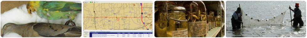
Enter a locality description, country, state and county in the appropriate spaces
and click the georeference button.The state field is required for U.S. localities.
Results will be displayed on the map as red markers. A green marker will also be
placed at the location with the "highest" likelihood of being correct. This
marker's placement can be adjusted by dragging it around the map. Clicking on the
green marker will also display its coordinates.
User Input Client | File Based Input (Batch) Client | Collaborative Client | Feedback
Instructions for File Based Input (Batch) Georeferencing Client
Files must be .csv files formatted to the GEOLocate csv specification.
If you wish to generate and record uncertainty radii for your records, your spreadsheet must also include an additional column to store that data. To enable uncertainty calculations select the "Do Uncertainty" check box from the list of georeferencing options and you will be prompted for which field to use for storing uncertainty data. To use one of these sample files, download and save a copy to your computer. Then click the "Georeference localities from file" to open that pane and click "Select File". Locate and upload the file from your computer. After the upload is complete, you should see your records displayed and ready for georeferencing.
If you wish to generate and record uncertainty radii for your records, your spreadsheet must also include an additional column to store that data. To enable uncertainty calculations select the "Do Uncertainty" check box from the list of georeferencing options and you will be prompted for which field to use for storing uncertainty data. To use one of these sample files, download and save a copy to your computer. Then click the "Georeference localities from file" to open that pane and click "Select File". Locate and upload the file from your computer. After the upload is complete, you should see your records displayed and ready for georeferencing.
User Input Client | File Based Input (Batch) Client | Collaborative Client | Feedback
Instructions for Collaborative Georeferencing Client
Click the "Correct localities records" bar above to expand the data view interface.
Enter your Collaborative Georeferencing username and password, then click "Login".
Select the community you'd like to work in and click "Continue" to proceed to the
correction interface.
If you are just looking to try it out, you can login and experiment with a small test dataset using the username: cogeguest and password: cogeguest
Click on "Next Record(s)" to retrieve the next locality to correct, along with the localities similar and identical to it. To make corrections:
Localities can also be skipped using the "Skip Selected" button ( the user will be prompted with a mandatory skip reason before being allowed to skip a record).
Corrections can be saved with an error polygon as well. To do this, select "draw polygon", then single-click on the map as much as needed to draw the polygon and double-click to finish.
If you are just looking to try it out, you can login and experiment with a small test dataset using the username: cogeguest and password: cogeguest
Click on "Next Record(s)" to retrieve the next locality to correct, along with the localities similar and identical to it. To make corrections:
- Expand the Similar and Identical records nodes then check the ones you'd like to correct along with the main record (highlighted in yellow).
- Make corrections to the location of the green marker by either:
- Dragging and dropping the green dot on the map.
- Clicking "Manual Edit", entering the coordinates and clicking "Ok".
- Selecting "place marker" and clicking on the map to place the green dot to that location.
- Click "Correct" to save the corrections and move to the next uncorrected locality in the batch.
Localities can also be skipped using the "Skip Selected" button ( the user will be prompted with a mandatory skip reason before being allowed to skip a record).
Corrections can be saved with an error polygon as well. To do this, select "draw polygon", then single-click on the map as much as needed to draw the polygon and double-click to finish.
User Input Client | File Based Input (Batch) Client | Collaborative Client | Feedback
Help Us Improve This Site
We are actively working to improve this web application. Any feedback (positive
or negative) you can provide is very appreciated and will help guide our developments.
Please send your comments to: Genevieve Rios.
User Input Client | File Based Input (Batch) Client | Collaborative Client | Feedback
Web Applications
Georeference collections data using your web browser. Quick and easy georeferencing.
Web Services
Integrate georeferencing into your own databases and applications using GEOLocate webservices.
Collaborative Georeferencing
Build communities, share data, relate records across collections and improve verification efficiency.